After extensive searching, this page serves to record the locations of the surviving 30 boundary stones that were placed around Maidenhead Borough in 1934, and is correct as of September 2024 some 90 years later!
Huge thanks goes to Neil Savin and Ann Darracott of Maidenhead Civic Society and Eddie Piekut of Maidenhead Bridge Rotary for their invaluable help in compiling these records, and without whom this would not have been possible.
Originally 48 stones were ordered by Maidenhead council, only 30 stones today are accounted for. Old OS maps after 1934 shows that stones are still in most of the original recorded locations. MB15 which was in Hindhay Lane can no longer be found and must be assumed to have been removed. There were also 2 Boundary Stones on the banks of the River Thames on the Cliveden estate and also one at Glen Island, but these are also no longer to be found.
Each Boundary Stone is denoted an ID number and prefaced with MB to denote ‘Maidenhead Borough’. The stone references are mostly the same as those used in many previous maps produced by the likes of Micheal Bayley in 1982, and Tom Middleton’s map in his 1975 “The Book of Maidenhead”, although in some cases stones were either not recorded on their map, or simply a marker but with no number.
Recent additional stone finds were agreed to be assigned the next sequential numbers, starting from MB27 onwards. For example the stone on Ockwells Road which was not marked on any recent maps and not recorded in old perambulations is assigned MB28, and the stone on North Town Moor in the Maidenhead ditch which lies between MB20 and MB21 is known as MB29.
MB30 is assigned to the stone which is in the wetlands of Battlemead Common and which is only accessible through locked gates and with the permission of RBWM; most likely it had not been seen in many, many years. The recently discovered stone in Woolley Firs which was unaccounted for in 1982 the East Berks Ramblers ‘Beating the Bounds around Maidenhead’ is assigned MB31. Who knows if there is still an MB32 to find!?!
The table below shows each stone in order, along with address and a Grid Reference and description of the location of each stone, as well as a link showing location on Grid Reference Finder website.
| STONE ID | IMAGE | OS GRID REFERENCE | ADDRESS | LOCATION |
|---|---|---|---|---|
| MB1 | 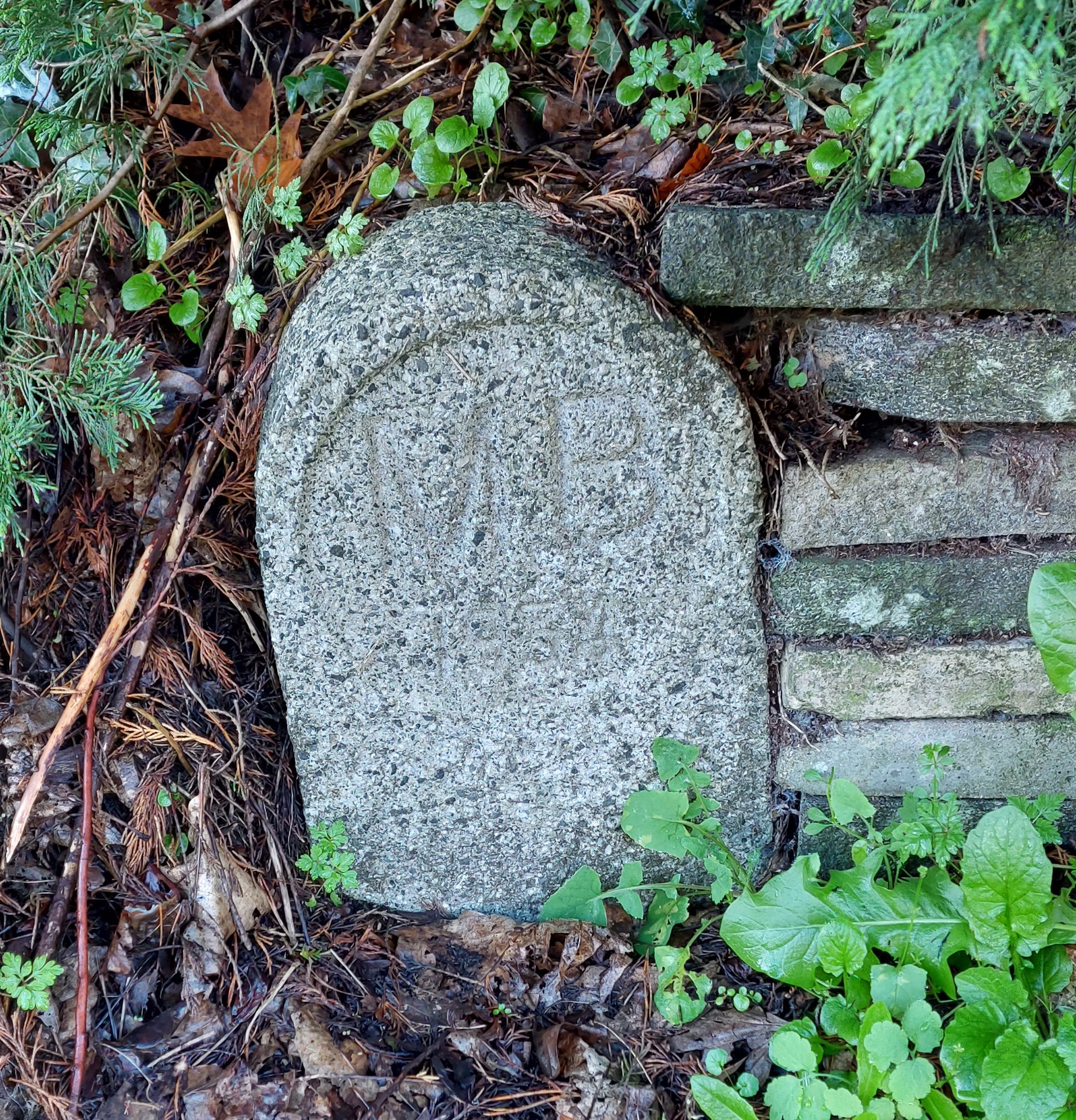 | SU 89580 79492 | Hibbert Road, Bray Wick, Maidenhead. SL6 1UY | At junction of Hibbert Road and The Causeway. On opposite side of road to Braywick Court School. |
| MB2 | 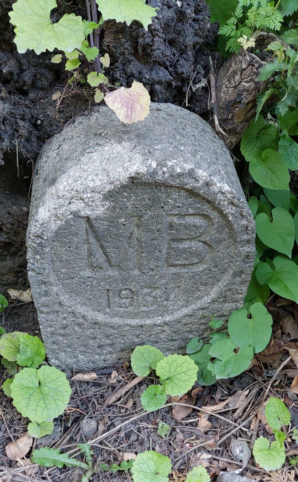 | SU 86806 79189 | Woodlands Park Road, Cox Green, Maidenhead. SL6 3UT | Opposite the entrance to Ockwells Road, and around 5 metres to the left of the junction, hidden in the vegetation by the side of the path. |
| MB3 | 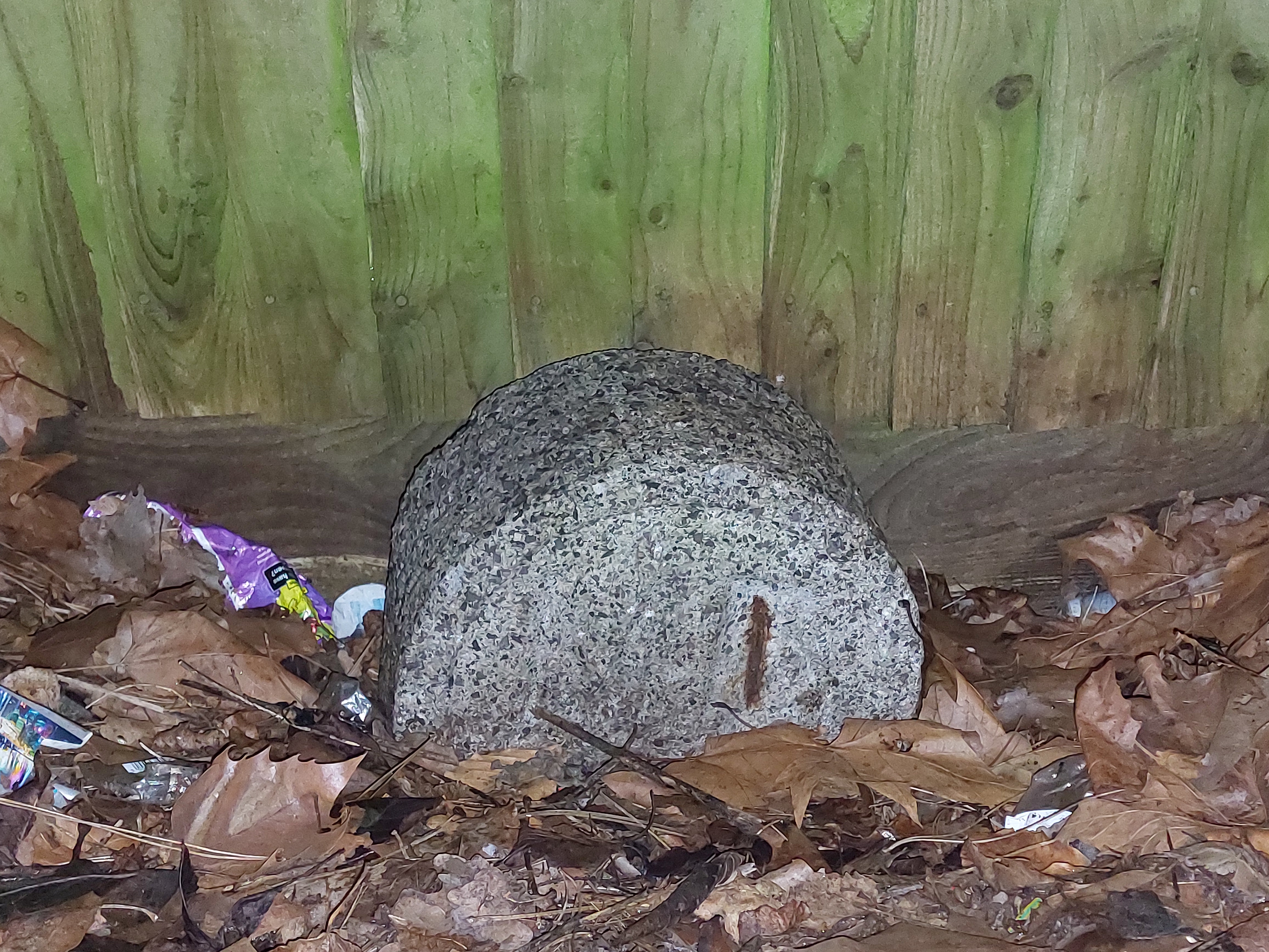 | SU 85991 79690 | The Thatched Cottage, Cannon Lane, Cox Green, Maidenhead. SL6 3PE | The stone is behind a small picket fence, just to the left of the Thatched Cottage pub as you look at it from the front, very well hidden especially in summer months when the hedgerow grows, and especially well hidden after the front of the pub was recently renovated in July/August 2024! |
| MB4 | 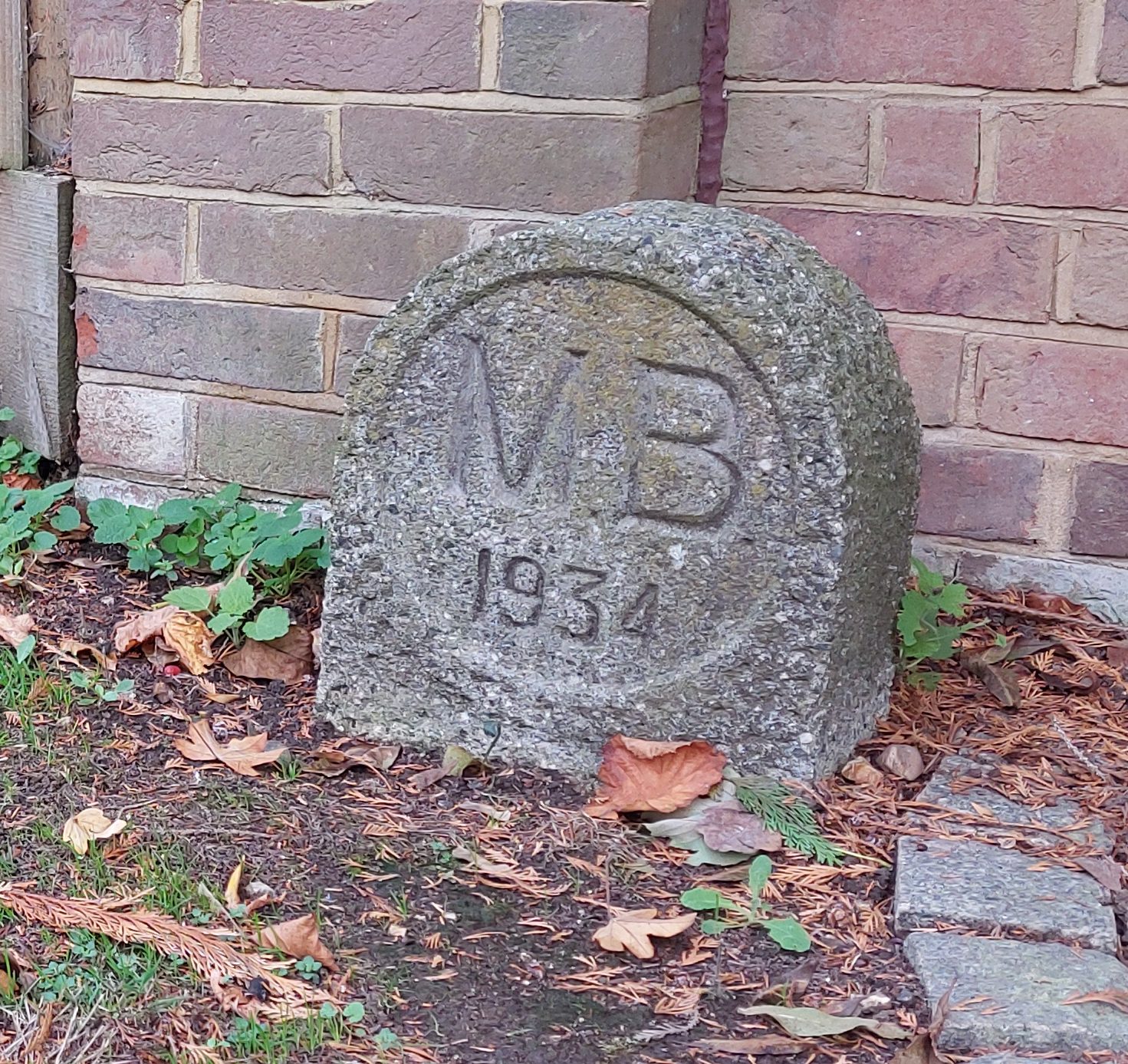 | SU 85115 80303 | Cherry Garden Lane, Littlewick Green, Maidenhead. SL6 3QD | Situated to the left of the curved brick wall at the entrance to ‘Heathside Cottage’ which is on the left at the end of Cherry Garden Lane, close to the Shire Horse pub. |
| MB5 | 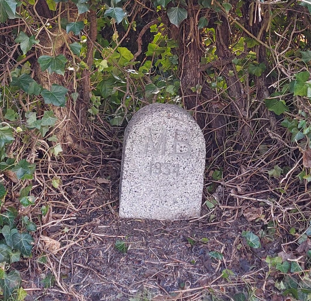 | SU 85030 80378 | Cherry Garden Lane, Littlewick Green, Maidenhead. SL6 3FG | This stone is tucked into the hedge to the left of the Shire Horse pub as you look at it from the A4. There is a hedge which hides the pub garden and the stone is tucked well into the middle of the hedge. |
| MB6 | 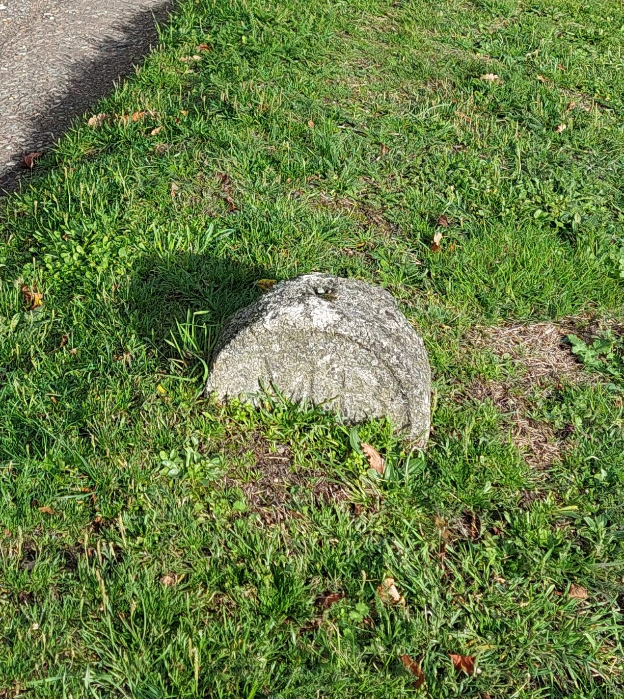 | SU 85010 80410 | Bath Road, Littlewick Green, White Waltham, Maidenhead. SL6 3FG | Half submerged in the verge, by the side of the Bath Road A4. Outside the Shire Horse pub and directly opposite the footpath that leads into The Thicket. |
| MB7 | 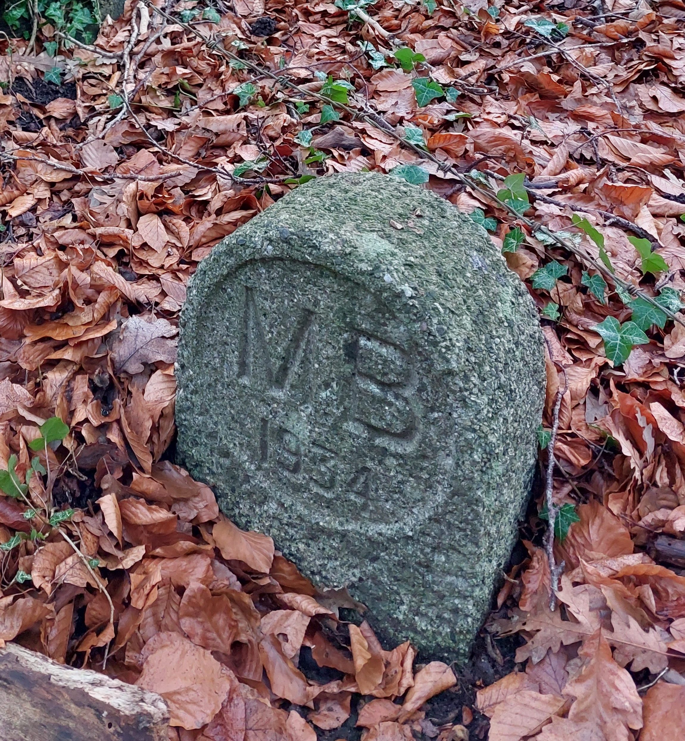 | SU 84894 80581 | Broad Ride, Littlewick Green, Maidenhead. SL6 3FG | After crossing the A4 at Shire Horse pub, follow the Boundary Walk signs for around 75 yards and then take a left, still follow the Boundary Walk signs until you come to a point where paths meet, and the corner of the edge of the field of Stubbings House. Take a right and immediately on your left the stone is at the base of a large tree. |
| MB8 |  | SU 85137 81497 | Henley Road, Littlewick Green, Maidenhead. SL6 6QW | As you exit the footpath from Stubbings Nursery, before crossing Henley Road, this stone is to be found on your right, right next to the road and close to the Stubbings road sign. |
| MB9 | 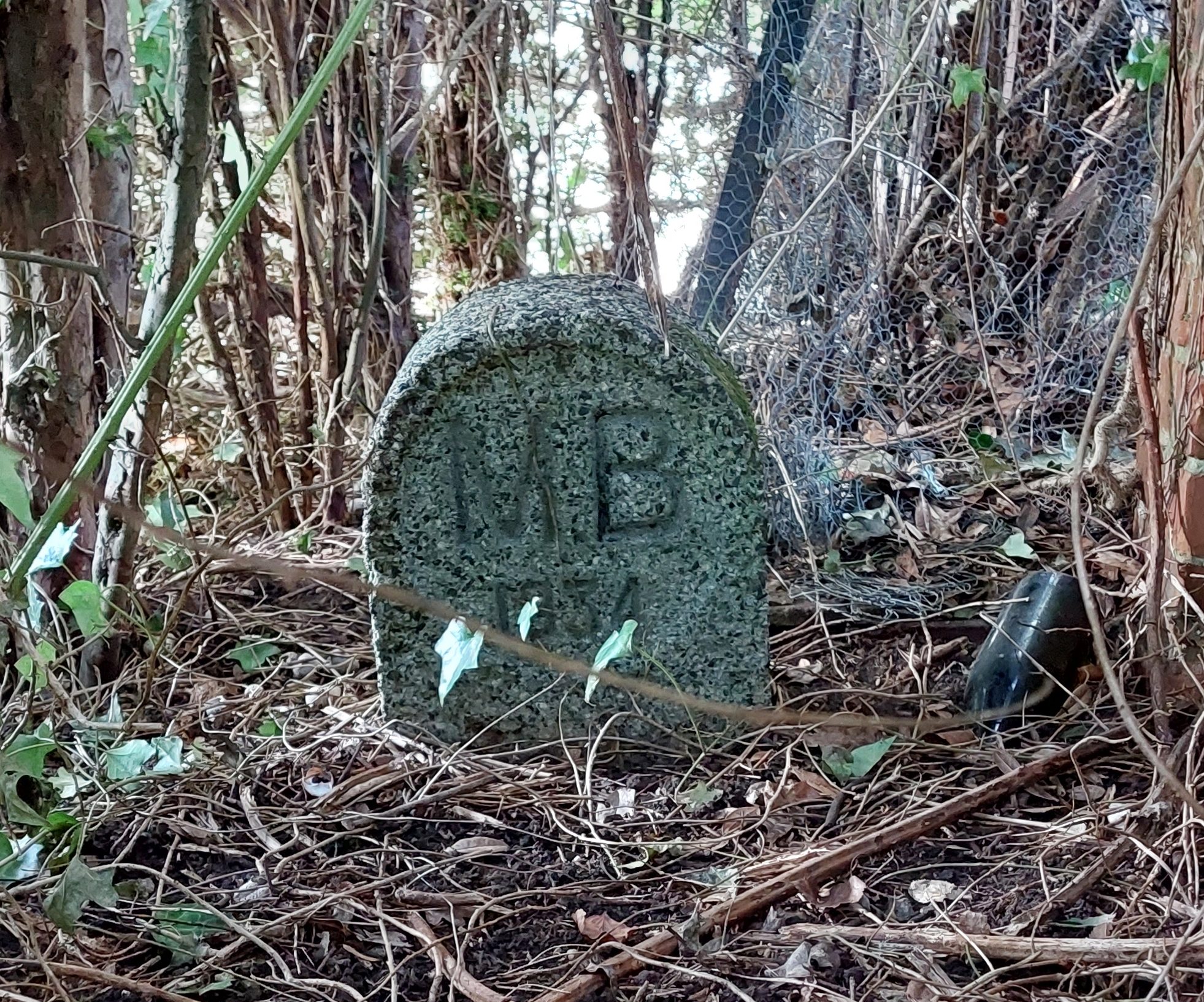 | SU 85405 81786 | Leigh Cottage, Darlings Lane, Maidenhead. SL6 4GL | This stone is in the grounds of Leigh Cottage at the end of Darlings Lane, and can be seen through a small gap in the fence to the right of the gate into the garden. The hole in the fence is right next to the hedge from the adjacent garden. Work has begun on renovating Leigh Cottage, but the gap in the fence is still there! |
| MB10 |  | SU 85605 82352 | Darlings Lane, Pinkneys Green, Maidenhead. SL6 6PA | Originally situated on the triangle island between Lee Lane and Darling’s Lane, the stone is now all but submerged into the road, only the very top of it is visible. Update Sep 2024: Gravel has been infilled around the remaining island and the top of the stone is no longer visible. |
| MB11 | 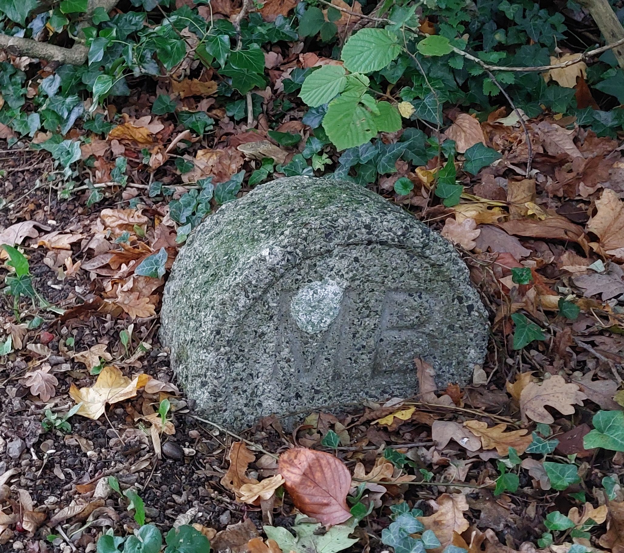 | SU 85627 82435 | Darlings Lane, Pinkneys Green, Maidenhead. SL6 6NS | On the left hand side of Darlings Lane, at a gated entrance to Pinkneys Court, the stone is to be found on the right of the gates. |
| MB12 |  | SU 85918 83038 | Pinkneys Green, Winter Hill Road, Maidenhead. SL6 6NS | At the start of the public footpath, set back some way from the A308 Furze Platt Road, opposite the turning to Golden Ball Lane, and underneath ‘Boundary Oak’ tree. |
| MB13 | 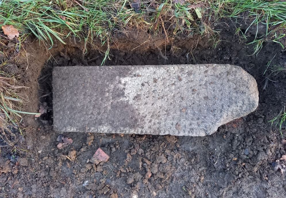 | SU 86241 83825 | Winter Hill Road, Cookham Dean, Cookham, Maidenhead. SL6 9UG | This poor stone is now on its side, right by the side of the road, on the bank directly opposite ‘Butlers Gate’ house, and in line with the electricity pole cable at the junction of Golden Ball Lane and Choke Lane. Update Feb 2024: Stone has been moved to Butlers Court temporarily, pending National Trust approval to allow the stone to be relocated further up the bank in a more safer location. Photo courtesy of Neil Savin, Civic Society. |
| MB14 | 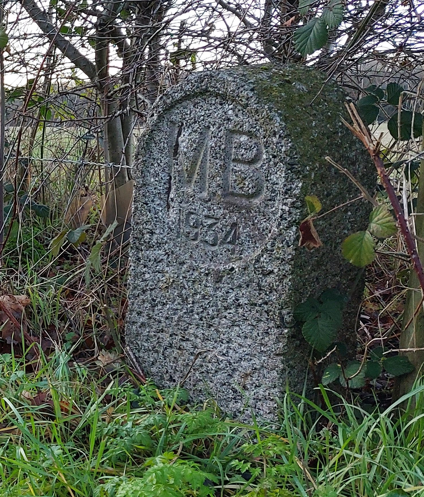 | SU 87257 83319 | Malders Lane, Cookham, Maidenhead. SL6 6NQ | In the hedgerow on the left on Malders Lane, opposite the garden gate to Cannon Court House. |
| ex-MB15 | No image available | SU 87320 83115 | Hindhay Lane, Hindhay Farm, Furze Platt, Maidenhead. SL6 6NL | This stone *should* be in the corner of the wooded area which is at the back of Cannon Court Farm where it meets Hindhay Lane, but has not been seen for many years now and is assumed to have been removed when the land was tidied up and rubbish removed some years ago. |
| MB16 | 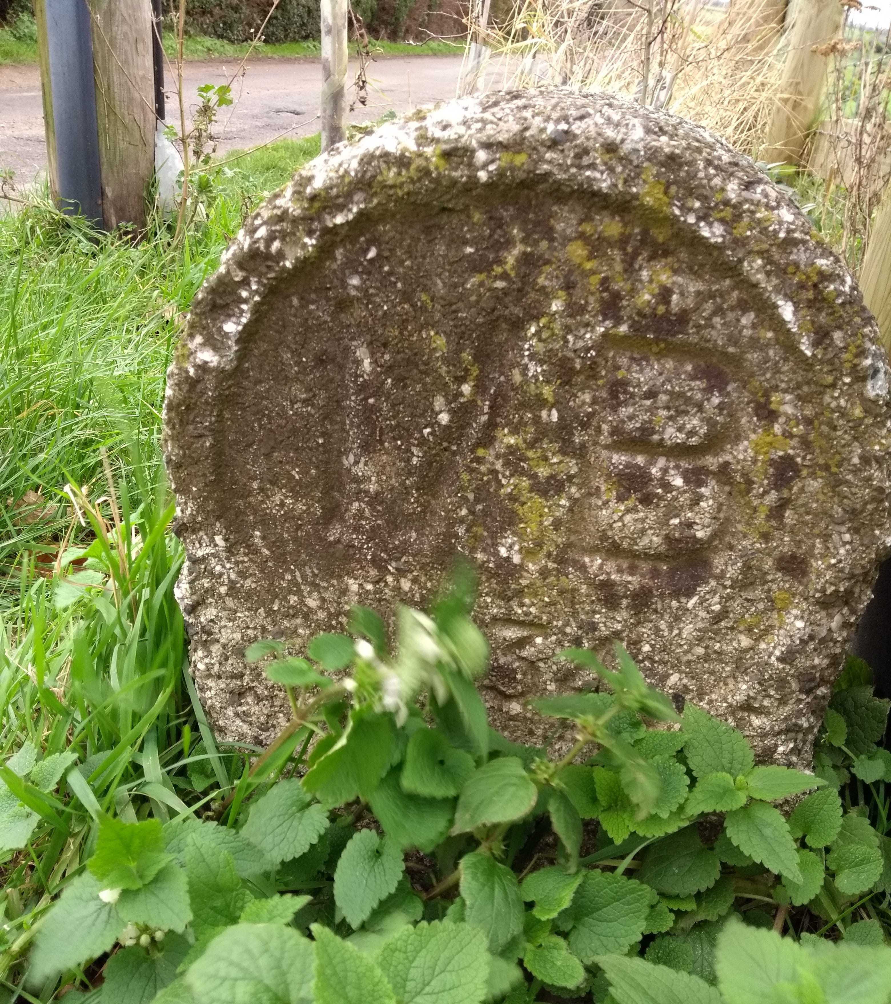 | SU 87572 83182 | Nightingale Lane, Furze Platt, Maidenhead. SL6 7QL | At the junction of Cannon Court Lane and Nightingale Lane. |
| MB17 | 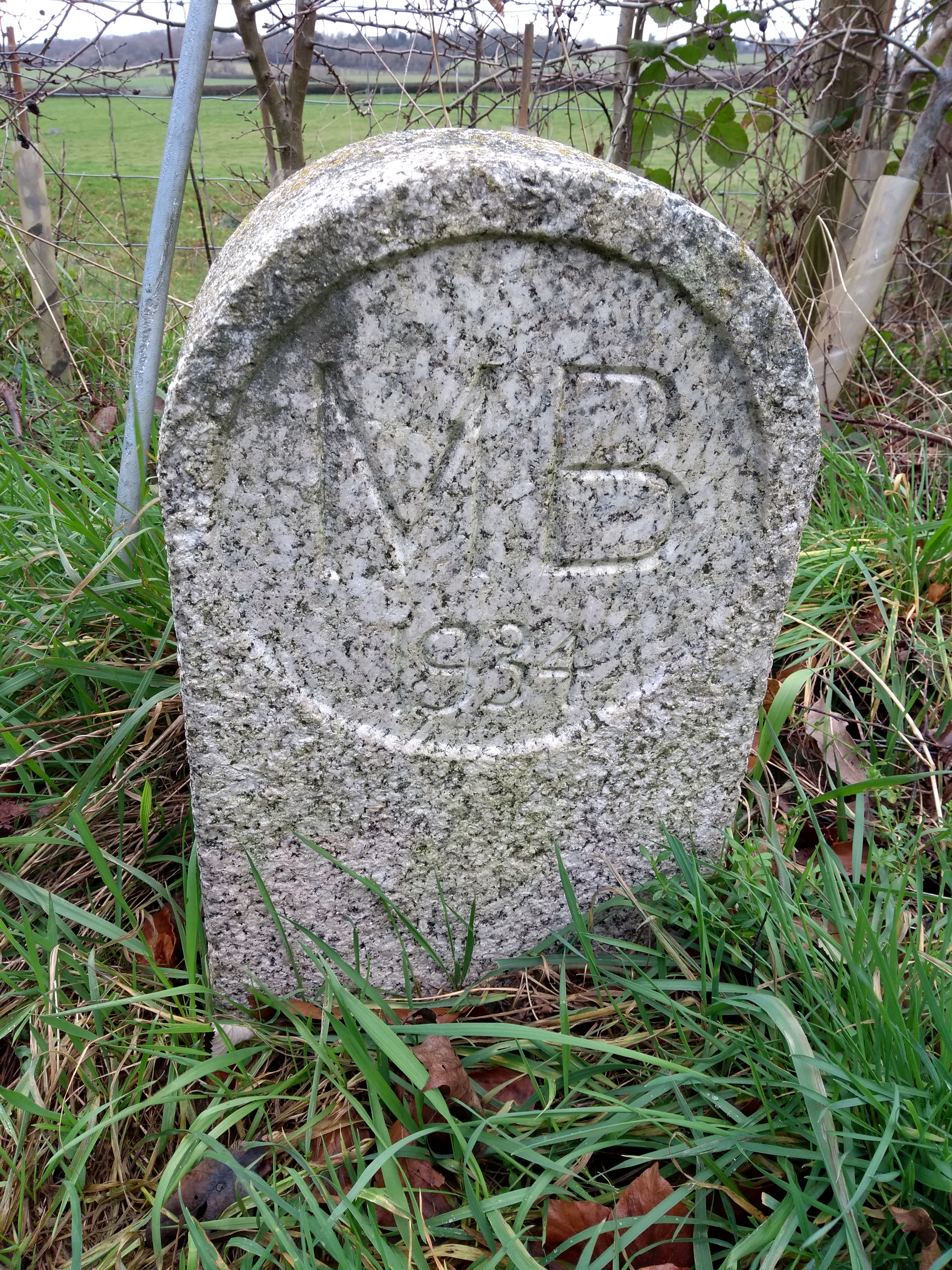 | SU 87975 83294 | Nightingale Lane, Furze Platt, Maidenhead. SL6 7QL | At the end of Nightingale Lane, on the left in the hedgerow next to electricity pole and footpath signposts. |
| MB18 |  | SU 88400 83401 | Maidenhead Road, Cookham Rise, Cookham. SL6 6PP | Stone should have been on the side of Maidenhead Road, opposite the end of the pedestrian path from the housing estate, and close to the railway line, but its in fact part of a set of steps that have been built at the end of the garden at no 1 Halfway Cottages (pictures courtesy of Neil Savin Civic Society). Update Feb 2024: Civic Society have verbally agreed with the owner of the house where the stone is currently located, to move it across to the pathway on the opposite side of the road within the housing estate. |
| MB19 | 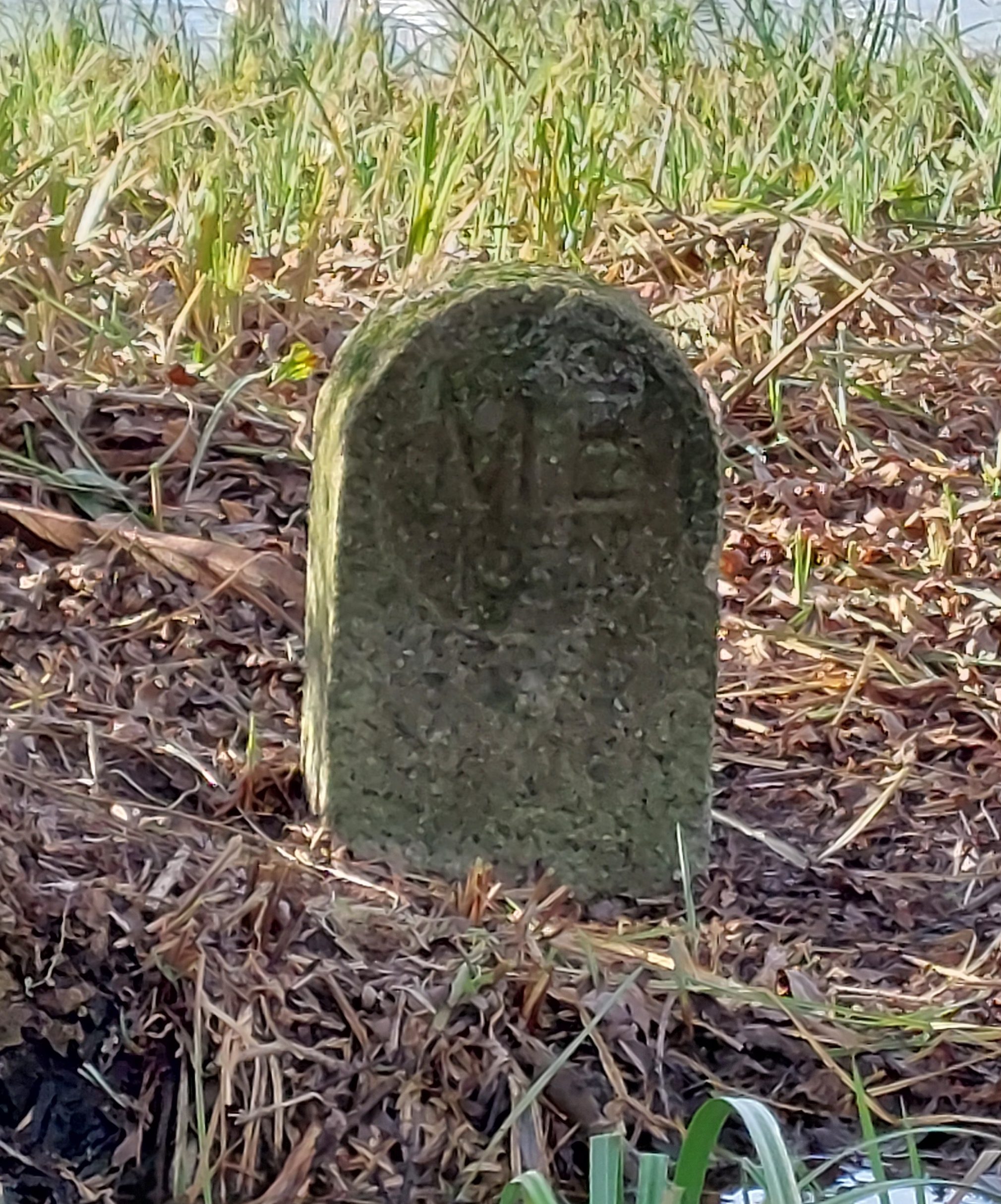 | SU 88665 83490 | Green Way West, Cookham Rise, Cookham. SL6 7HQ | As you walk into this field, along the footpath following the Boundary Walk, with the stream to your left, there is an old, small wooden footpath post. At this point look left and the stone is at the base of a large tree, close to the waters edge on the opposite side of the stream. |
| MB20 | 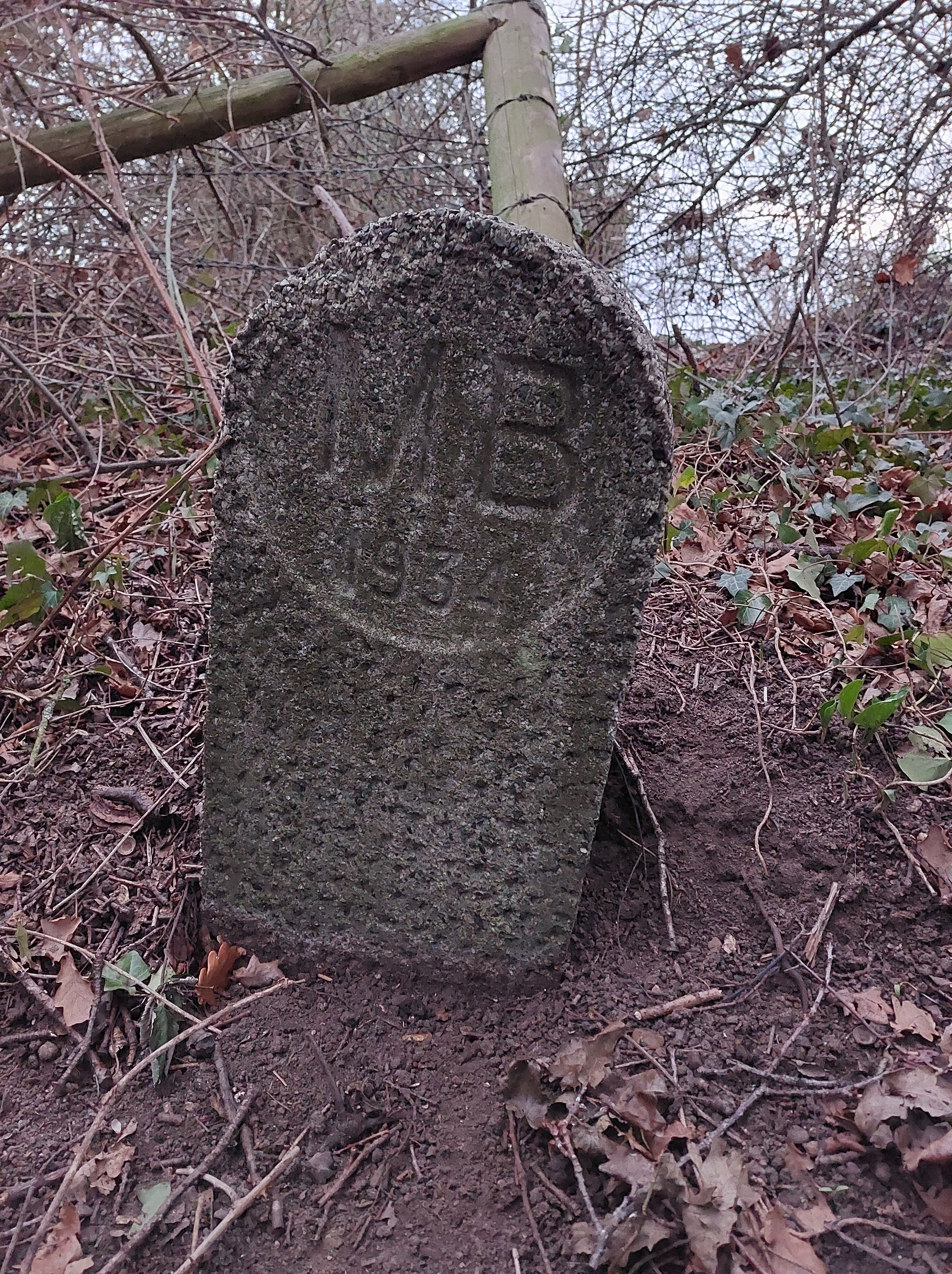 | SU 88874 83628 | Green Way West, Cookham Rise, Cookham. SL6 9DN | Stone is on Morth Town Moor behind the tall Oak tree about 10 metres from the right turn towards the gravel pit, to the right off the footpath, and about 2 metres behind the oak tree inside the ditch. |
| MB21 | 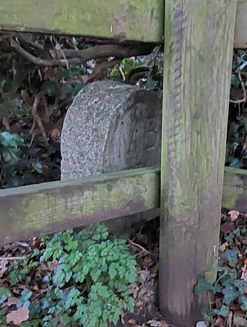 | SU 89345 83667 | Green Way East, Cookham Rise, Cookham. SL6 8HW | This one is quite well hidden, right beside the first kissing gate on your left as you enter Widbrook Common. |
| MB22 | 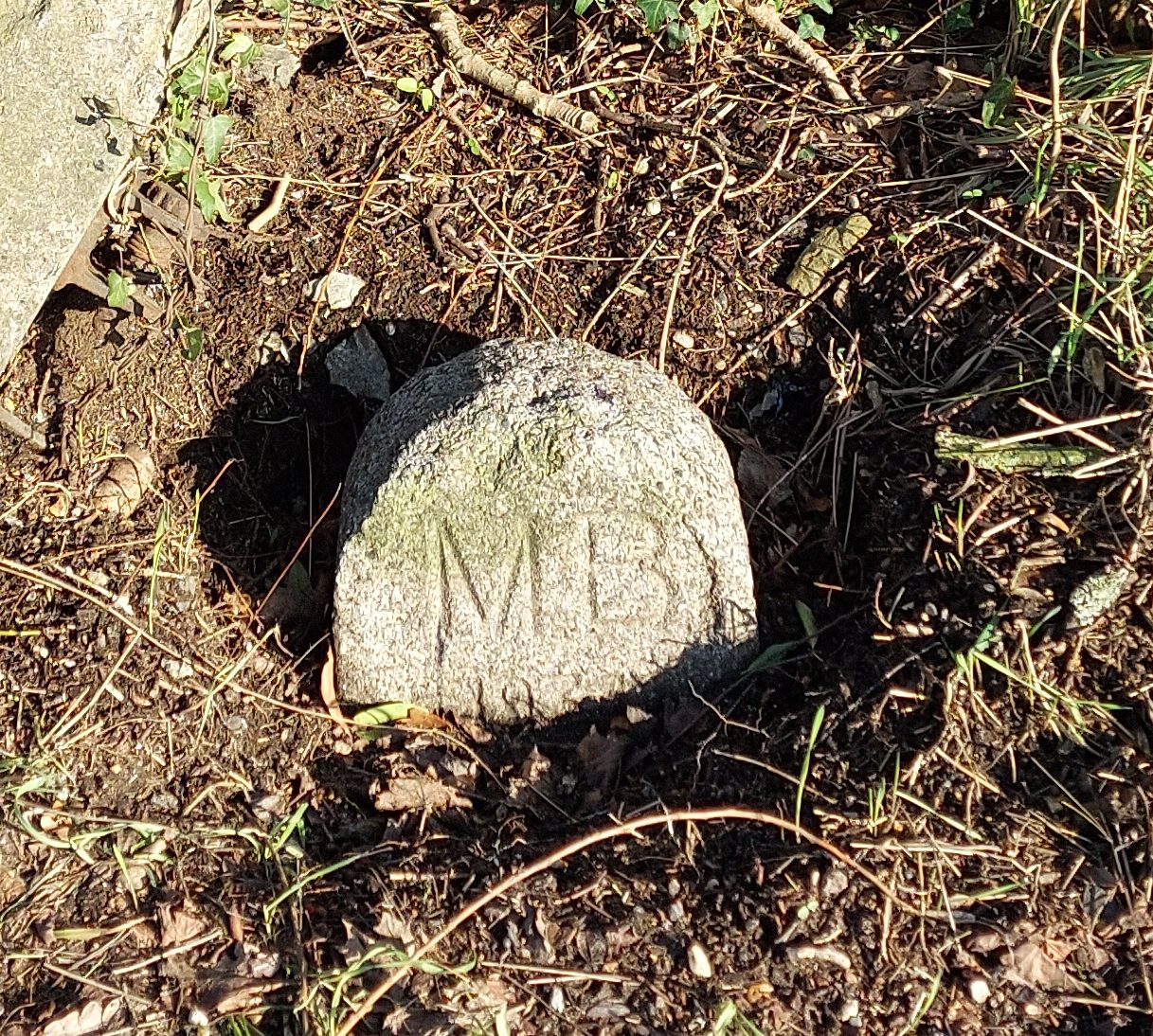 | SU 89939 83863 | Sutton Road, Cookham Rise, Cookham. SL6 9QZ | On the edge of the A4094 Lower Cookham Road, to the left of the new footpath across Battlemead Common. Its also directly opposite the path from Widbrook Common where it meets Lower Cookham Road. |
| MB23 | 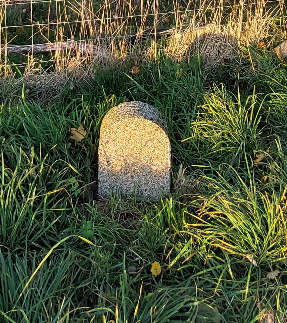 | SU 90351 83952 | Battlemead Common, Cookham. SL6 9RB | This has been replanted after being rescued from White Brook ditch in 2004 and now sits behind the new walkers bench in the corner of Battlemead Common. |
| MB24 | 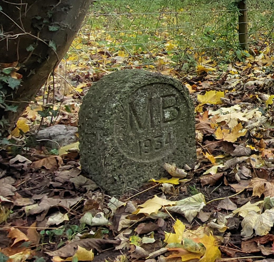 | SU 90725 83616 | Battlemead Common, Cookham. SL6 8LF | On the towpath next to the River Thames. Follow the Boundary route right across Battlemead Common (when open) and then once you are back on the River Thames towpath, turn right heading towards Maidenhead, and follow the path for about 50 metres just to the edge where the trees start to cover the path, and the stone can be found on your right at the base of a tree. |
| MB25 | 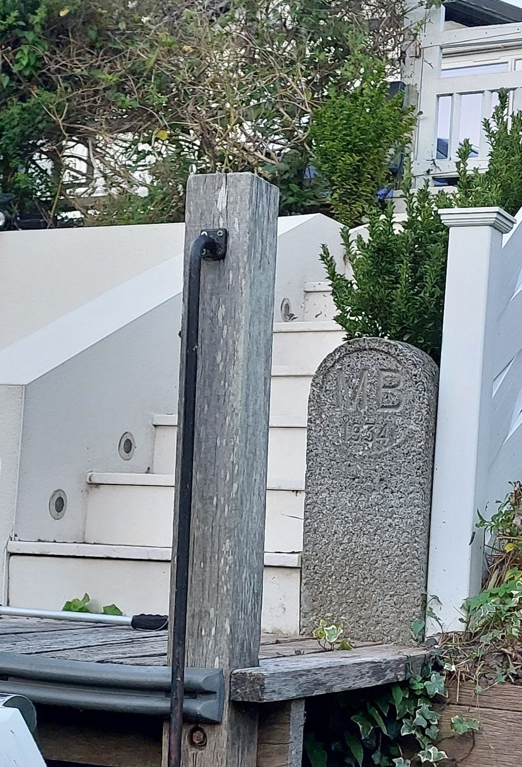 | SU 90205 81122 | River Road, Taplow. SL6 0BB | This stone is on the riverside of River Road (Gaiety Row back in the day) and is right at river level, in a private garden accessed from the road, directly in line with ‘The White House’ property, just before Brunel’s Bridge. |
| MB26 | 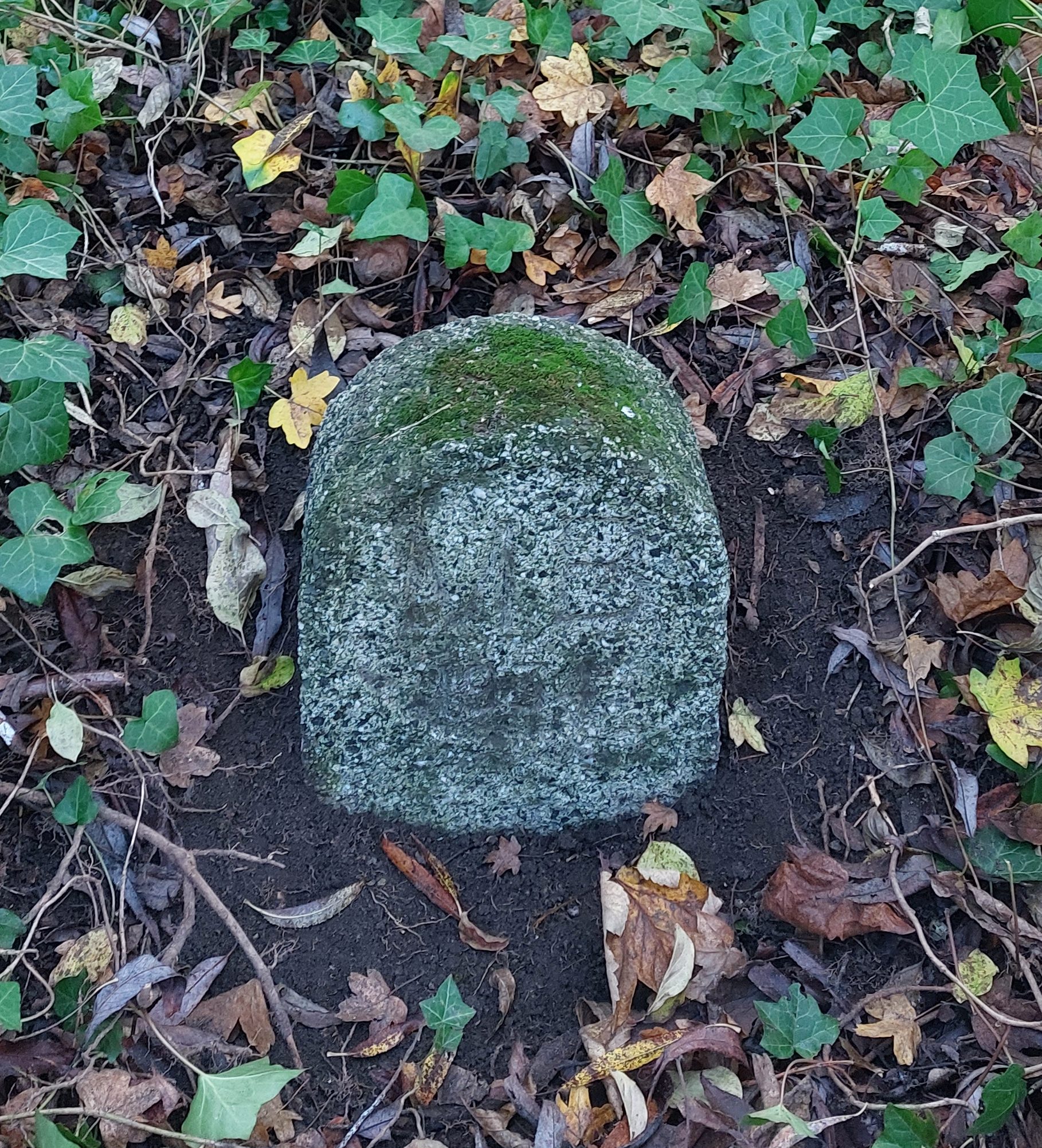 | SU 90154 81113 | Guards Club Island, Maidenhead. SL6 0BB | This stone is on Guards Club Island which is accessed over the Victorian Bridge from Guards Club Park. Once on the island, take a right and after around 10 metres the stone is just on the right next to the footpath in the vegetation. |
| MB27 | 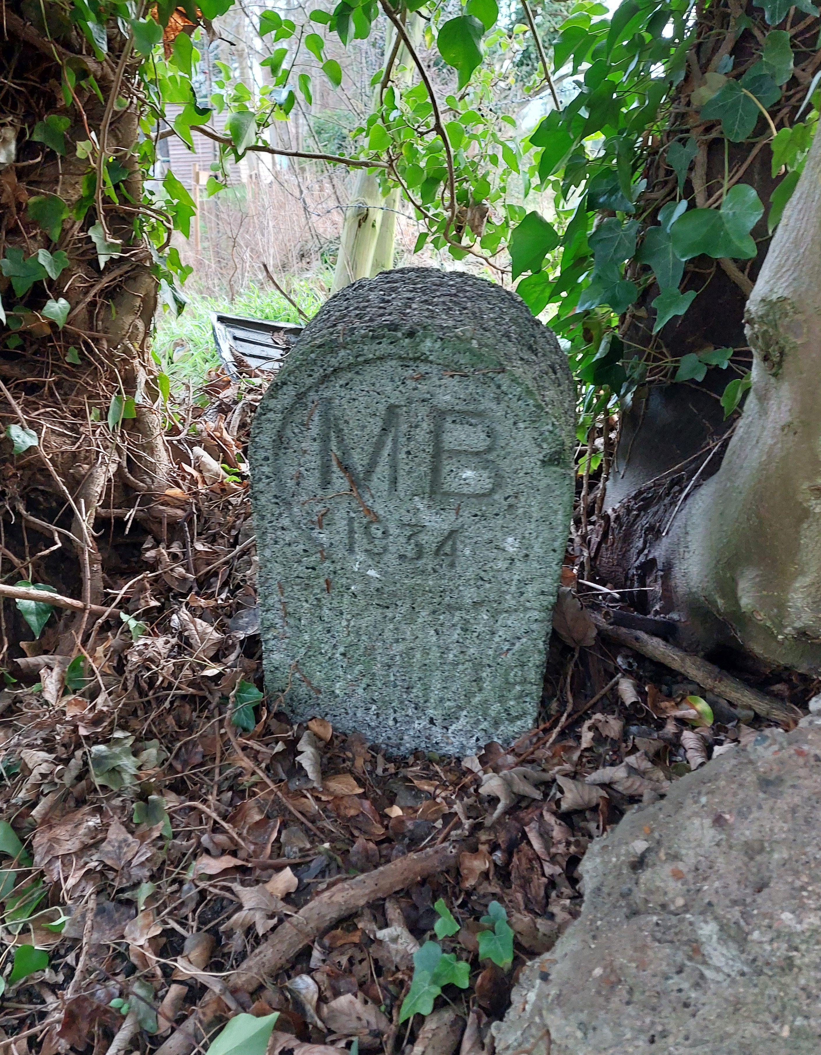 | SU 89969 79741 | Bray Road, Bray Wick, Maidenhead. SL6 2AG | This one is behind the white fence / bridge at the end of Bray Road, at the edge of the path, and tucked down into the ditch behind some large ivy, also at the end of a residential garden! |
| MB28 | 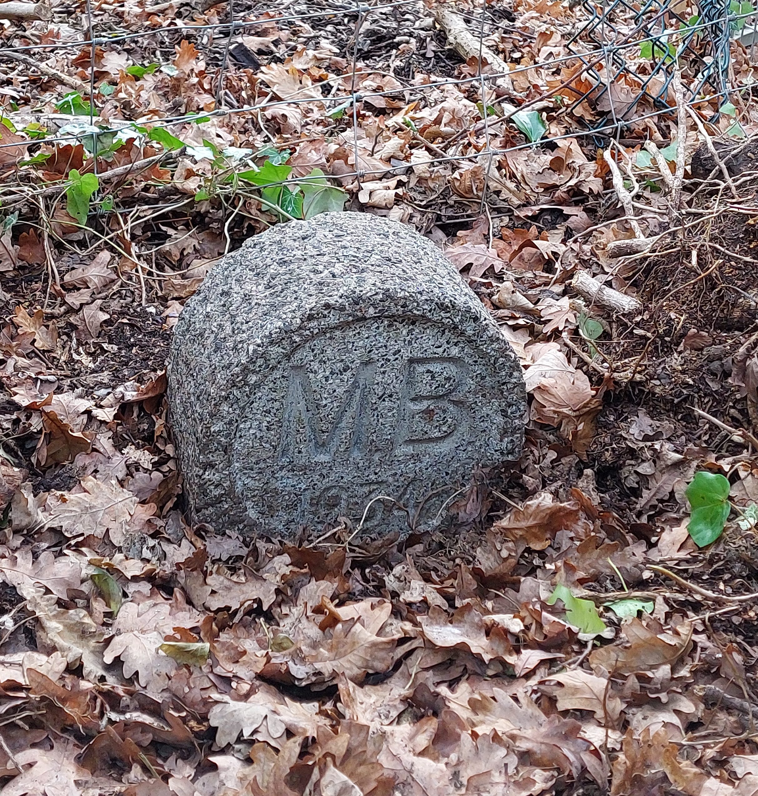 | SU87721 79043 | Ockwells Road, Cox Green, Maidenhead. SL6 3AB | This stone was not marked on the 1949/1972 perambulations and so has probably lain undiscovered for some time. Near the junction of Cox Green Road and Ockwells Road, looking at the footpath sign and gate, the stone is located about 1 metre to the left. |
| MB29 | 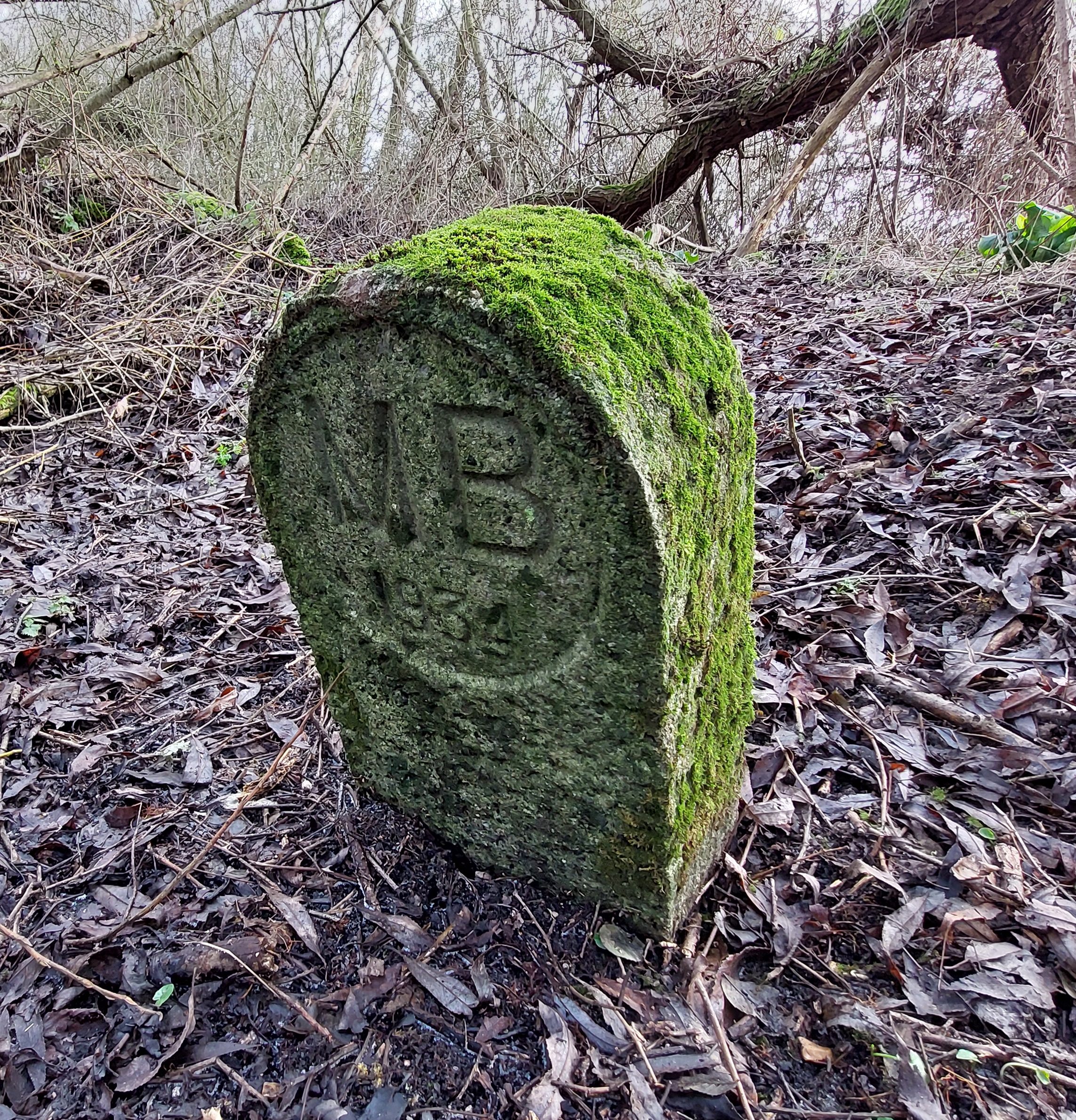 | SU 89258 83630 | Green Way East, North Town, Cookham Rise, Maidenhead. SL6 7HQ | This one is tucked well into the bushes and hedges in Maidenhead flood bund, a ditch that runs 4-5 metres to the left of the current footpath location. The boundary stone is deep within the bushes in the middle of the ditch. The stone was not marked on the 1949 or 1972 maps. |
| MB30 |  | SU 90545 83660 | Battlemead Common Wetlands, Cookham. SL6 8LF | This stone is located in the wetlands of Battlemead Common. Even during April to October when the footpath across the Common is open, the stone is not accessible due to new fences erected. It is located in the wetlands on the banks of the White Brook stream and is only accessible with permission of RBWM. |
| MB31 | 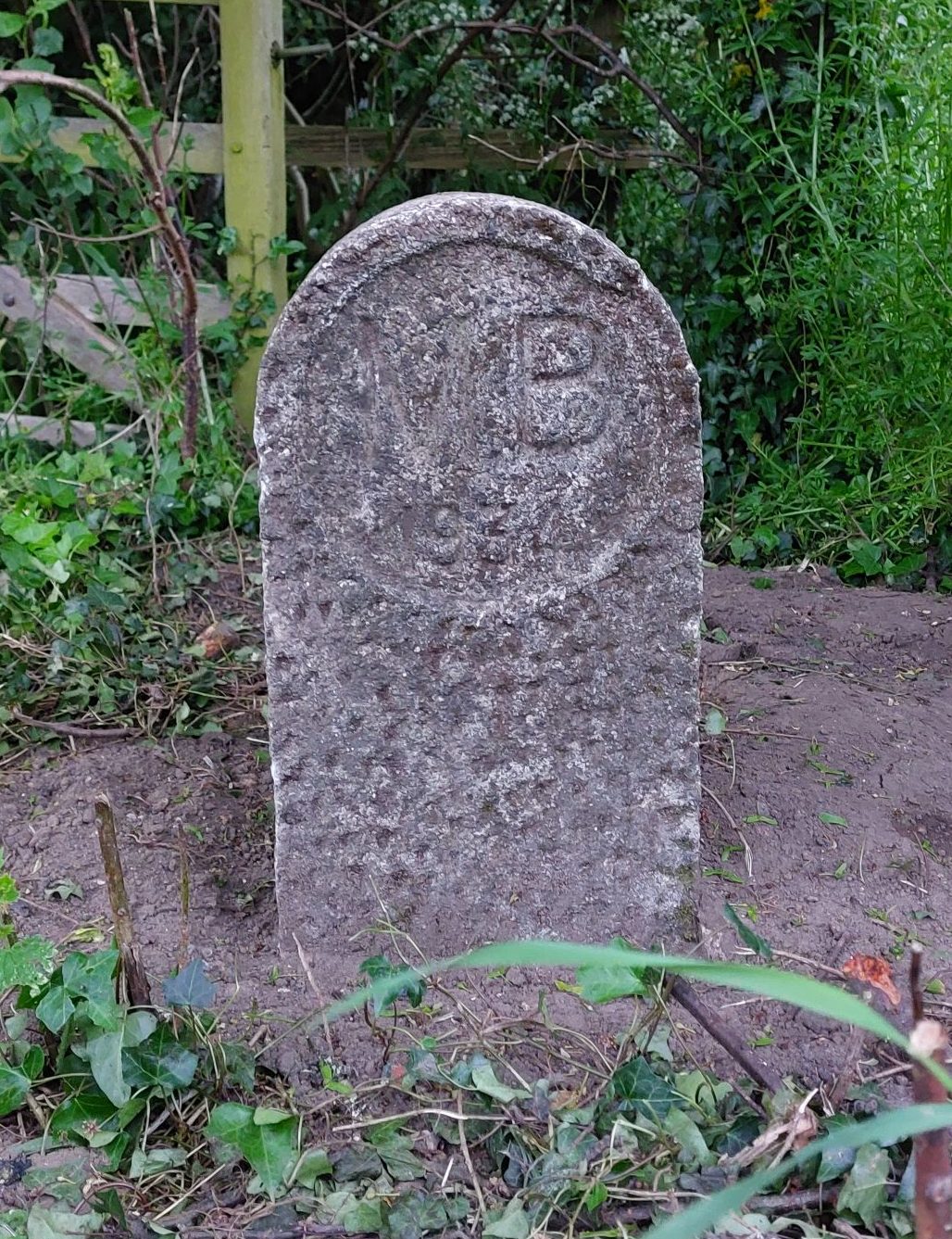 | SU 85149 79947 | Woolley Firs Conservation Trust, Littlewick Green. SL6 3LJ | Originally laying down in a patio in front of a concrete bench in the gardens of Hasker House in the grounds of Woolley Firs, this stone was relocated in May 2024 right next to the Boundary path, to the right as you exit the fields and enter Woolley Firs. |
Google map below shows the locations of the remaining 30 Maidenhead Boundary Stones. Clicking on any of the icons within the map will provide the Boundary Stone OS grid reference, address and additional photos.

Well done, Chris,
You have made a valuable record.
Hopefully, you can update your blog as and when. Sadly, MB13 is too damaged to be reinstated. Neilâs current plan is to eventually put MB18 in its place, after it is retrieved from the step. This is because a stone occurs at Butlers Gate in the OS map.
I will copy this mail Neil so he is in the loop and Eddie just in case he hasnât seen the blog as it might be useful in publicising the 2024 Boundary Walk.
Kind regards
Ann
LikeLike