The Boundary is a yearly event for all the family, taking place usually on the last Sunday in October as it was in traditional times. The full route is a 13-mile walk around the original borders of Maidenhead before it was expanded in 1973 to include parts of Cookham and Windsor, but there are other shorter routes available for families and children. The walk is organised by Maidenhead Rotary Club and has been for many years now and welcomes all ages.
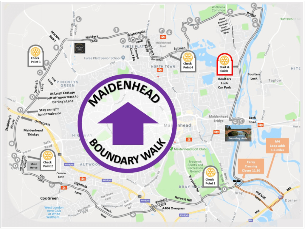
It starts and finishes in Boulters Lock car park close to Boulters Lock where you can register and pick up a map of the route, and some well earned refreshments at the end.
The Boundary Walk was revived in 1982, precisely 400 years after the original ‘Charter of Incorporation’ which brought the Borough of Maidenhead into being in 1582.
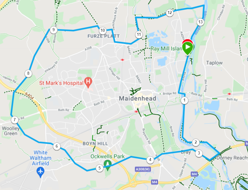
The full Boundary Walk route is shown below with mile markers:
The route begins from Boulters Lock car park on the Cookham Road and heads out along the A4094, past Boulters Lock, crosses over the A4 at Maidenhead Bridge and heads towards Brunels famous Sounding Arch.
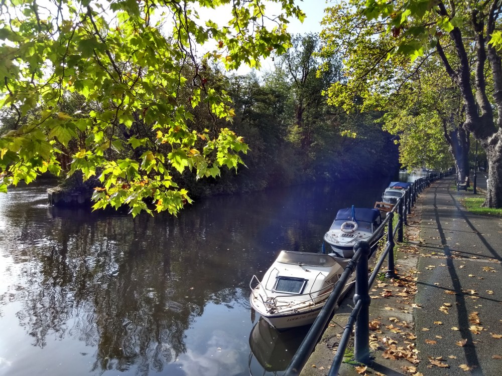
At the bridge it crosses underneath the A4 at Thames Riviera Hotel and then heads down the tow path next to the Thames. For the past few years the Sea Cadets have been on hand with a free boat transfer from the tow path across the River to the Bray side, although there is a longer route of about another 1.5 miles which carries on and crosses the River Thames at the M4.
From Bray the route passes through the churchyard and then crosses the road for the first check point. The route then follows a narrow path towards Braywick Nature Centre. From here you cross the A308 with caution, and then head along Harvest Hill Road. There is not much of a path on this road so this care is needed with oncoming cars.
Half way along Harvest Hill Road, you take a left and head away from the cars down Kimber’s Lane and cross over the A404 and on towards Ockwells Park. Following the road past Ockwells Park and Lillibrook Manor and Barns. Here you cross Woodland Park Road and head on down Highfield Lane towards Cox Green school. Cross over the railway line and down to the junction with the Thatched Cottage pub on Cannon Lane.
At Cannon Land, cross the road and take the road to the right of the pub down Firs Lane, which is a cul-de-sac which then then leads into a narrow path. Follow this path through the edges of the wood and Clares Court School and eventually it will come out in a field which is part of Woolley Firs. Head through the old farm buildings and onto the main road which is Cherry Garden Lane. Turn right and head up Cherry Garden Lane towards the the A4 and the Shire Horse pub for the next check point.
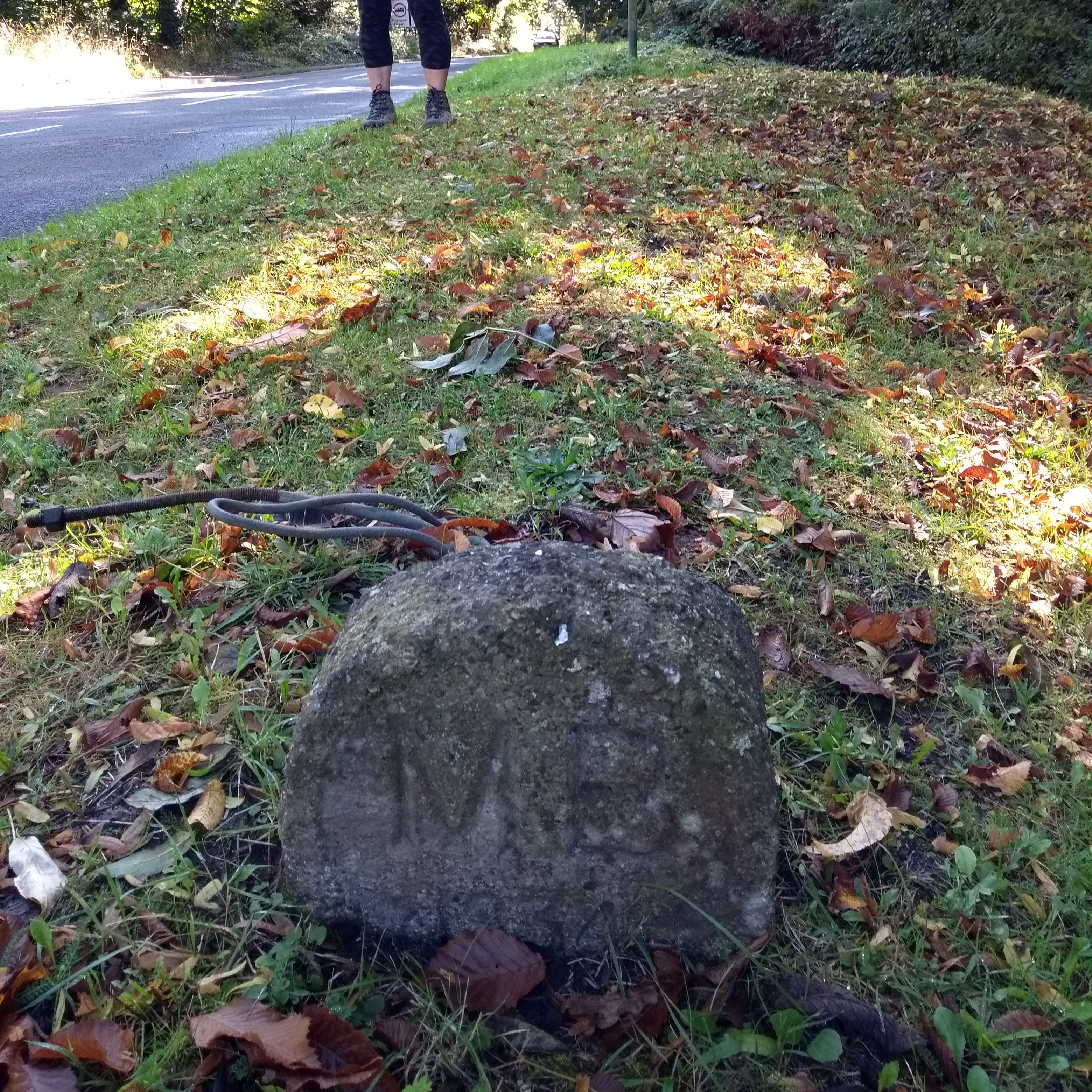
After the Shire Horse pub, you cross the A4 and head into the Thicket. Following some footpaths inside the woods, you eventually exit very close to Stubbings Nursery and Cafe. The path then leads down onto the road just to cross underneath the A404, and then back up to Henley Road where we can see one of the famous boundary stones right next to the Henley Road.
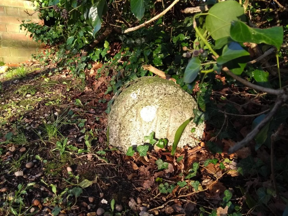
Cross the road and head through the grassy (and quite often muddy!) pathway towards Darling’s Lane. Take a small left at the start of Darling’s Lane right next to Leigh Cottage – this used to be a magnificent house with Wisteria growing all over the building, but as of 2022 onwards it has become uninhabited and is quite a sorry sight now. Carry on down the tarmac road that is Darlings’ Lane and after a mile at the triangular crossing is the next Boundary Walk checkpoint. Crossing over Lee Land and continuing straight, and another Boundary Stone can be seen on the left the entrance to Greenlands.
The path then continues along Darling’s Lane until the road ends and becomes a track and enters the woods. Follow the signs to exit the woods near some very old cottages that were used for the workers at the Brick and Tile works years ago.
Follow the woodland trails north through the thicket and you will come out at Pinkneys Green which is a National Trust owned area of common land. The route then heads east to Furze Platt and through North Town Moor, before eventually coming to Wildbrook Common. At the end of Widbrook Common you meet the Cookham Road – here you can either take the short route along the road back to Boulters’s Lock car park, or, you can cross the road and go a much nicer, quieter route across Battlemead common which was acquired by RBWM after many years of campaigning. Half way around Battlemead common there is a path across the farmland (which is only open until the boundary walk finishes) which takes you to the River Thames, right opposite Cliveden estate. Follow the Thames Path back to Boulters Lock for a well earned rest!
There’s lots of great trails, country views and wildlife to see on the walk, you won’t be disappointed!
Please click here for more information and website dedicated to the Boundary Walk.
The route can be downloaded from https://www.maidenheadbridgerotary.org.uk/bw-route.html as a PDF, and its also available as a route on Garmin connect.
You can also view the Boundary route on GPS-routes site on an Ordinance Survey Map, link below.
and you can also download the GPX file from this site.

2 Comments Add yours